|
|
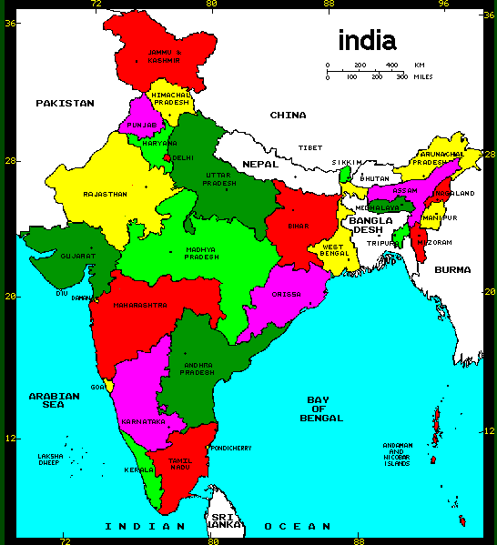
The Indian subcontinent is in
Asia. It is a peninsula and the three sides
are surrounded by Arabian Sea in the south
west, Bay Of Bengal in the south east and Indian
Ocean in the South. It lies to the north of Equator between
68.7 to 97.25 degrees north longitude and 8.4 to 37.6 degrees east latitude.
India measures 3214 km from north to south and 2933 km from east
to west. It has a land frontier of 15,200 km and a coastline of 7516.5
km. India shares its political borders with Pakistan and Afghanistan on
the west, Bangladesh and Burma in the east, Nepal, China, Tibet and
Bhutan in the north.
Area: It covers an Area of 3,287,263 sq.
km
Capital: New Delhi |
|
|